This is the first in a yet unknown length series.
In Early June my sister Jolene sent me a text that our Grandmother (Mamaw) was headed to the ER. After many texts back and forth over the next hour to find out what happened and what was happening Jolene texted me that Mamaw had passed away. While this is very sad news it was also not super surprising because Mamaw had Alzheimer’s and was just getting worse all the time. For the last 3 years she lived with my Dad and Step-Mom so she was thankfully with family and well taken care of. To be with my family and show my love and support we had to take the little drive down to central California. I’m not going to lie, this was a good thing for me because Waldo and I had talked ourselves out of taking a vacation to CA this summer because of money. We had started to plan a trip that would include taking Lily and my niece Olivia to the Monterey Bay Aquarium for the day, but after calculating the expense it just didn’t seem doable, but because of this we had to make it work. Sort of Yay.
As is our habit Waldo and I started planning our trip out which included looking at our route. I like to take different routes when we can because I like to see different parts of the world. Also we have done the straight down the highways to CA a few times and hated the part where we hit Sacramento at rush hour no matter what we do so we decided to see what else was available. We studied Google maps and according to the almighty Google the alternative we decided on would only take an additional 43 minutes. LOL! 43 minutes, we could totally handle that; we get to see new mountains and avoid almost all major CA towns, right on! LOL! Stupid us.
Fast forward a week and we were on the road. We followed Nancy’s directions (the name we gave our nav voice) and all the sudden we were in the middle of the Nevada mountains and it was beautiful. Don’t ask me why I didn’t take any pictures up till this point, I guess I failed as a blogger, but trust me these mountains and fields were green and beautiful. We were on a very deserted 4 lane highway when Nancy tells us to turn right, onto a two lane road. Alright Nancy, if you say so. We drove a little ways and passed the Air force (or Army, I don’t honestly know or care) Mountain Warfare Training facility, Ooookay, I guess we are in a bit of a deserted area, but this is where Nancy said to go and trust me I followed the little line on the nav map and made sure we were on the right track and we were. Then a few minutes later we passed a sign that said the road to the summit was open. Well hell thank goodness for that. It never occurred to me that the road might not be open. Then we passed the gate that they would use to close the road if the summit wasn’t open and it was like we hit a time warp and were on the oldest and smallest road ever created in CA. And we were headed UP. Thankfully Waldo noticed the sign that said it was 24 miles to the other side. Only 24 miles, we could totally do that.
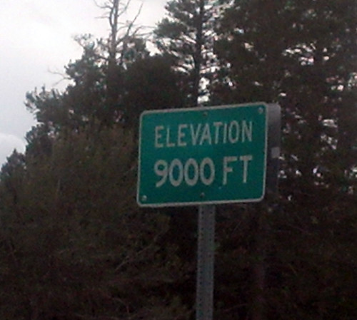
We passed the 5000 feet elevation sigh and I thought nothing of it because I was trying really had to not get car sick. We were driving around all of these hairpin curves and Waldo was shifting our automatic Honda like it was a manual. There were sheer drop offs on my side of the car that I had to stop looking at. Then we passed the 6000 feet sign and I complained to Waldo “why didn’t I take a picture of the 5000 ft sign?” Oh well. More hairpins, more drop offs and finally Waldo insisted that I take the Dramamine that was still thankfully in the glove box from the last trip we took. Oh and at this point I don’t think we’ve seen another human being. We had no cell signal AT ALL and I was a little worried that if anything happened to us we were toast. Then we passed some of those Army/air force guys setting up for some mountain warfare training and I felt better and so much worse. At least I knew there were other people around somewhere. Then we passed the 7000 ft sign and I slapped my let and almost yelled “why haven’t I been taking pictures of these signs?” Then there was snow on the sides of the road and I was like oh holy crap we’re up high. When we got to the 8000 feet sign I tried to take a picture but couldn’t get it before we passed it. When I complained Waldo told me that he would have stopped, I hadn’t thought of that, seeing as we were on a road. But at that point I think we’d seen like 2 cars so really who cares if we stop. So when I saw the 9000 feet sign I told him to stop. I mean really, 9000 feet!! He stopped right there and I took this picture.
Finally at about 92 hundred some odd feet or so we hit the summit and started on the way down. Finally.
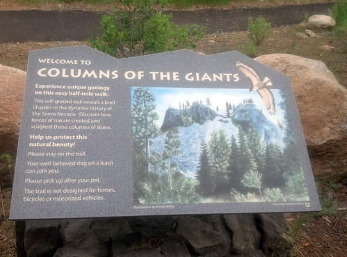
We stopped at a ‘rest stop’ (really a permanent port a potty) and we realized what a nice place it was to stop when we went and read this sign.
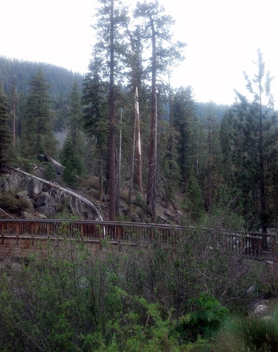
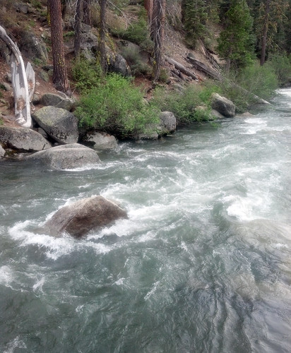
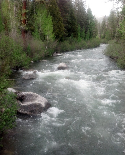
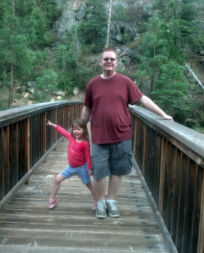
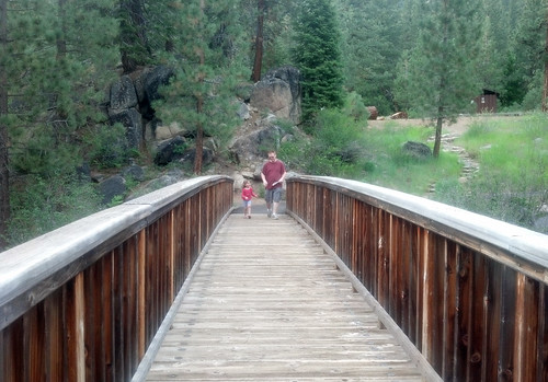
We didn’t take the whole 1/2 mile walk, but we did look around and it was such a nice way to stretch our legs and take a little break from the hairpins.
We walked along that bridge and it was so peaceful.
We finally got into Madera (our destination) around midnight or something stupid like that. I have to say that Lil was a champ. She didn’t sleep the whole time which really surprised me, but just played with the iPad, her toys and her drawing that whole time and didn’t hardly complain and just hung out. She talked about Olivia the whole time and couldn’t wait to play with her. Once we got to my Dad’s we quickly set up our bed and crawled into it.
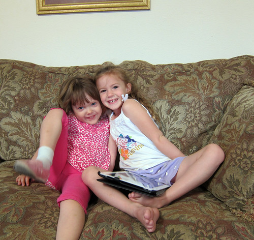
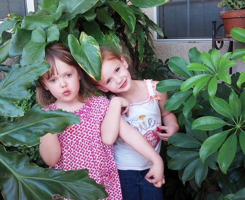
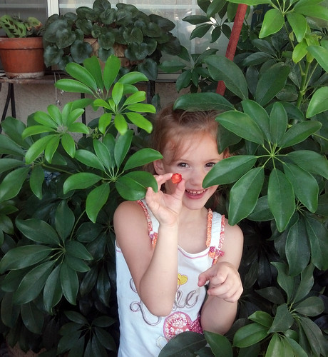
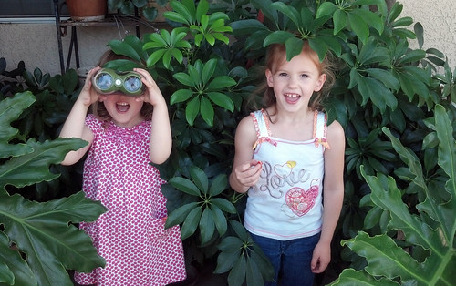
Early the next morning Jolene and Olivia came by and Lily’s fun started.
I dragged the girls outside and started documenting this trip.
I’m going to stop here and like I said in the beginning this is the beginning of a series.
